Assignment 6 Overview
- You will examine the potential impacts of coastal flooding on Vancouver’s residents, streets, and city properties.
- You will learn:
- How to use
Dissolve tool in ArcGIS Pro.
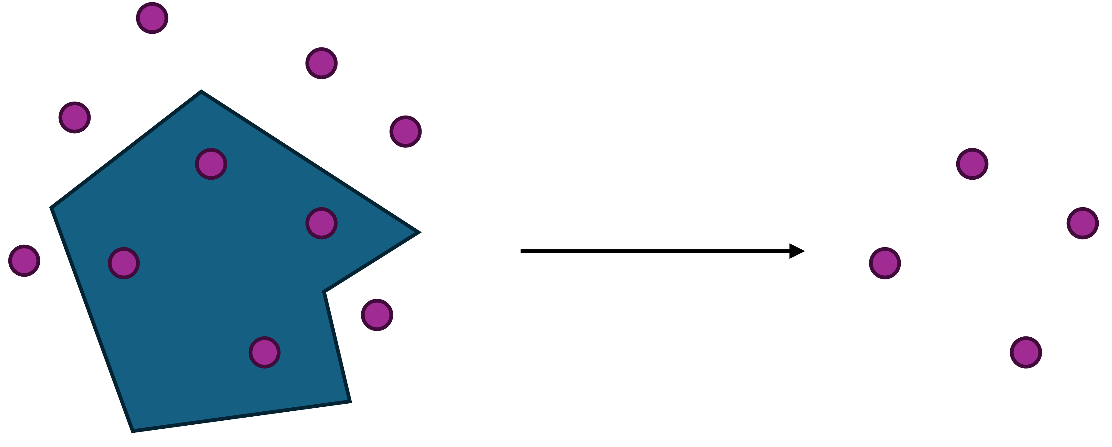
- How to intersect feature layers in ArcGIS Pro.
- Intersect points with polygons.
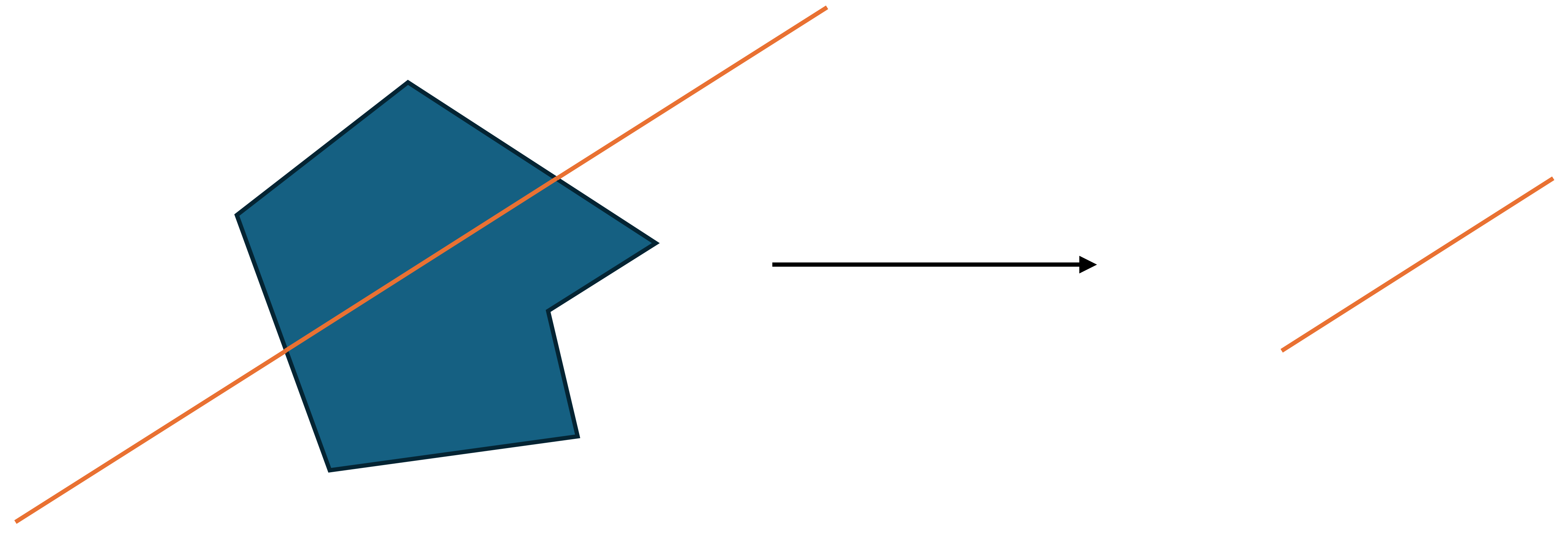
- Intersect polylines with polygons.
- How to use the
Apportion Polygon tool in ArcGIS Pro.
Submission Details
- This is a Connect Assignment.
- You will submit everything on Connect.
- The deadline is 2:00 PM on November 26.
- Direct all extension requests to the professor.
- If you seek an accommodation (extension), you must save copies of your answers (e.g., save all your answers in a Word document). Your assignments will be reset with a new deadline, and the existing answers will be cleared.
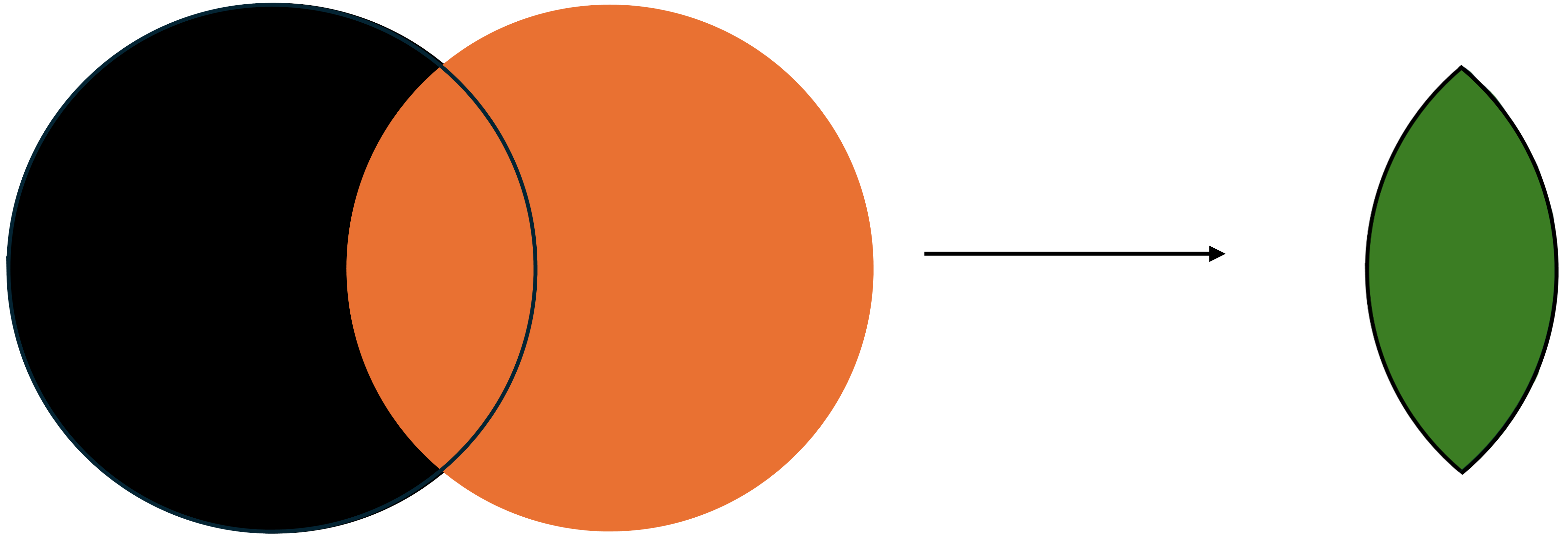
Intersection
Intersection operation is a powerful and frequently used tool in GIS.
Areal Weighted Interpolation
The Apportion Polygon tool in ArcGIS Pro essentially conducts extensive areal weighted interpolation.
![]()
![]()
Next Slides ⇒